Waivio

Recommended Posts

Geological Activity in the "Sierra del Rosario" Biosphere Reserve, tour of Las Terrazas

4 comments

charlemio36.7712 days ago3 min read

https://images.ecency.com/DQmbCuo8ssh8iWZxNrchvs1utBLudknQyWJnobdRbTYjqNp/20190213_092541.jpg

Town of Las Terrazas

Delving into one of the most relevant sites in Cuban Geology is always something memorable and significant, reserving a day to complete a field trip within this beautiful place such as the Sierra del Rosario. The mix between intact nature and completed by man, along with its geological riches, is unique in the world.

https://images.ecency.com/DQmbWxZsr7VWifZZzWgEK4i2vRzWM8qdCBUwzMhr4xH4qMT/20190215_100235.jpg

Loma El Salón

https://images.ecency.com/DQmSvobbpK4VHpaH48taVtsAv2zJxrexw3GFzZMUjhYr5e9/20190215_100934.jpg

Viewpoint of the Loma El Salón

 
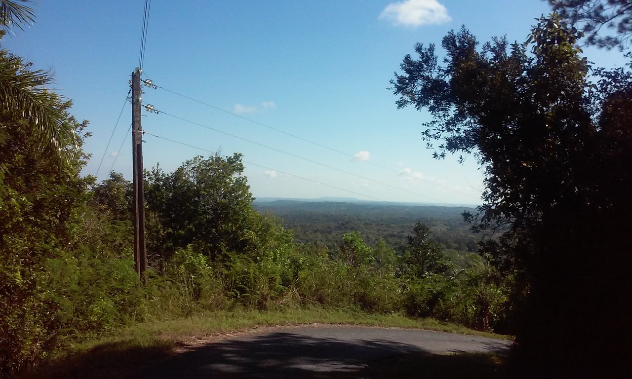
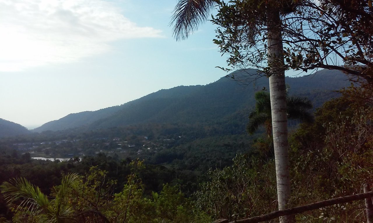
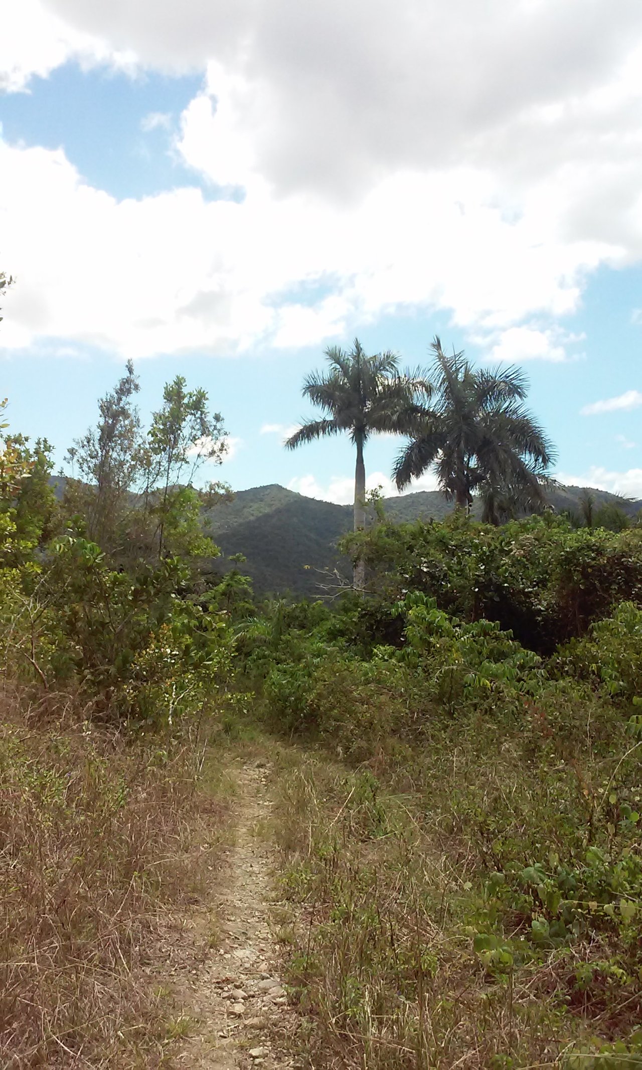
We can observe with a beautiful view, some of the elevations of this fascinating place, from more or less 1.8 km high, in the "Loma del Salón", one of the most requested trails due to its beautiful views and nature.

https://images.ecency.com/DQmVPka4yrVXoELPoWb9dNqiNQGxBZRo7rWFJCWYYmNSyEZ/20190215_111608.jpg

https://images.ecency.com/DQmNVjxxsdsdyrSM9Qigrfjmf4u61SyC6YejkzWk7pAH4zL/20190222_092845.jpg

Viewpoint of the Trail to Las Peladas

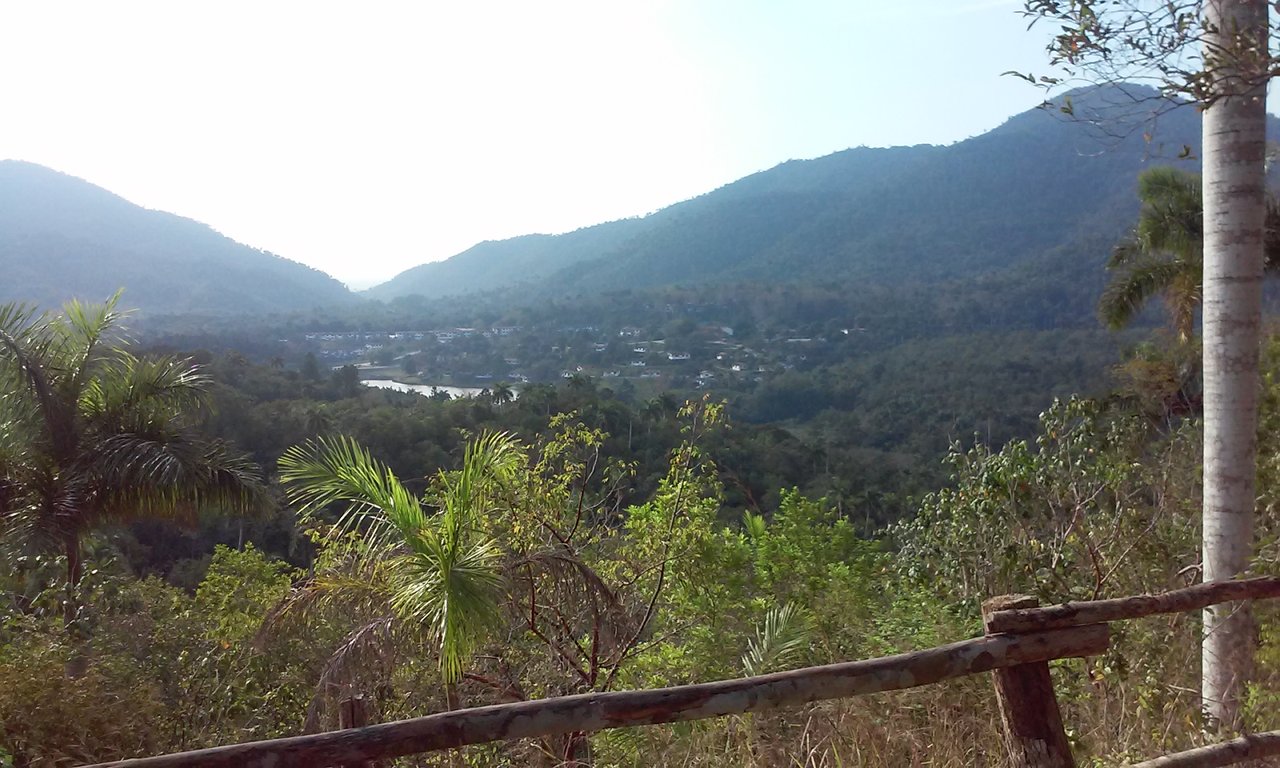
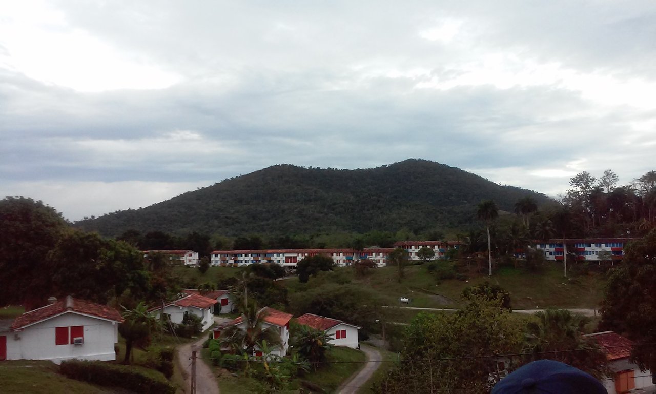
Next, we change route, heading to the "Camino a las Peladas" trail, an area not so high but with a special viewpoint, with a very detailed view of the town of Las Terrazas, a town where the famous Cuban singer-songwriter Fernando Borrego Linares lived, better known like Polo Montañez.

https://images.ecency.com/DQmNzo8frTX1nKkZU2g7RpG3hffrTMvYozEq4ZEcKCQAz8c/20190222_092856.jpg

View of the town along with its three main elevations: La Loma del Taburete, La Loma El Salón and La Loma del Mulo.

https://images.ecency.com/DQmXypM67h56oKfj4JkkdTscJtkvKbYYe4JE9P17jAcY8Hw/20190222_092902.jpg

View of La Loma del Mulo in its entirety with the town on the right

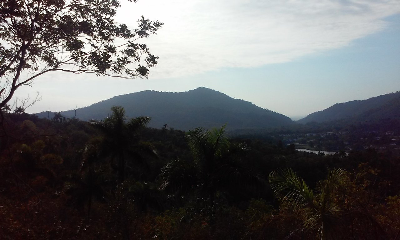
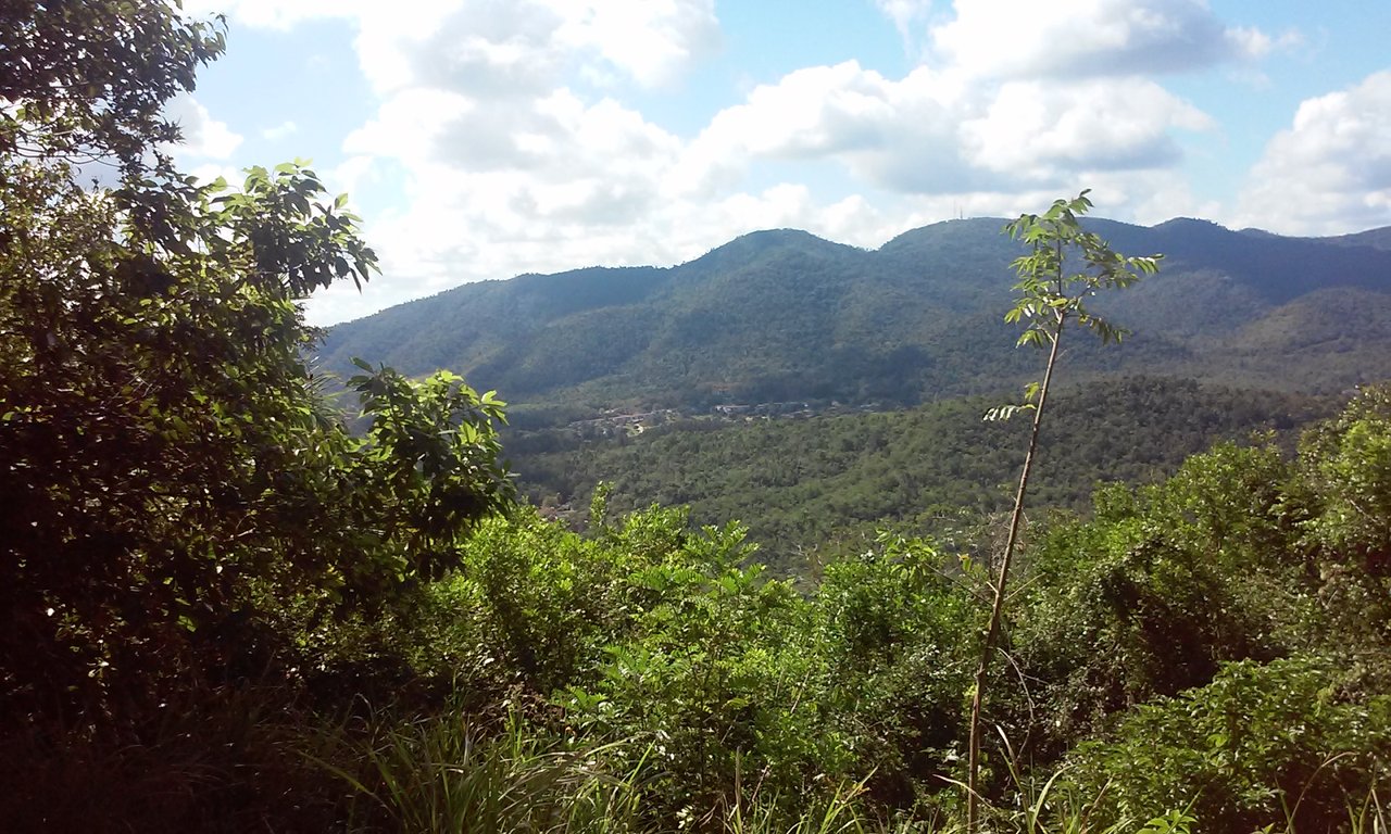
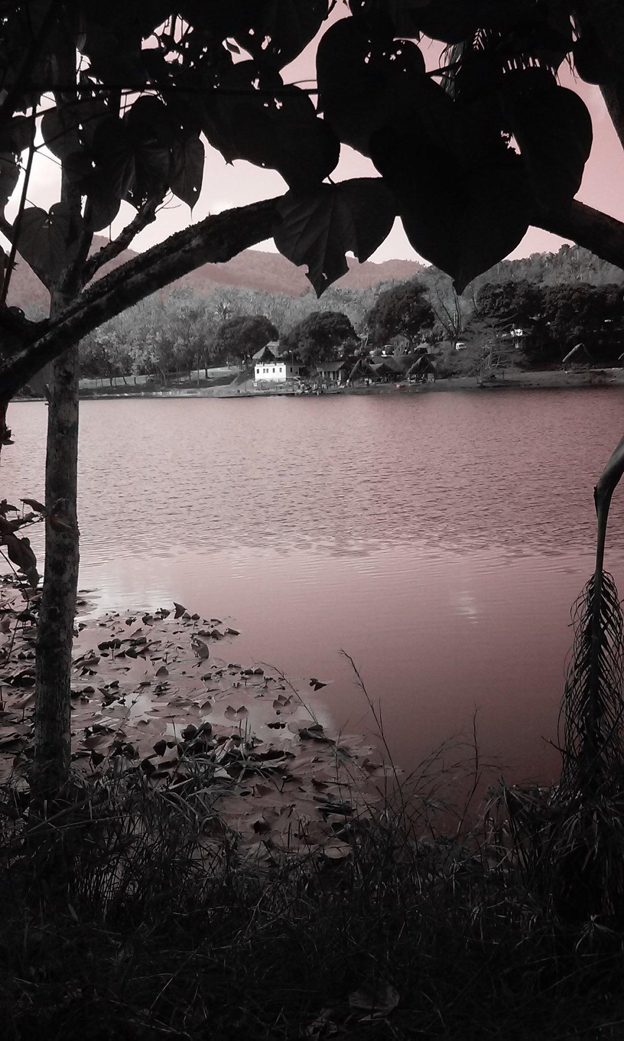
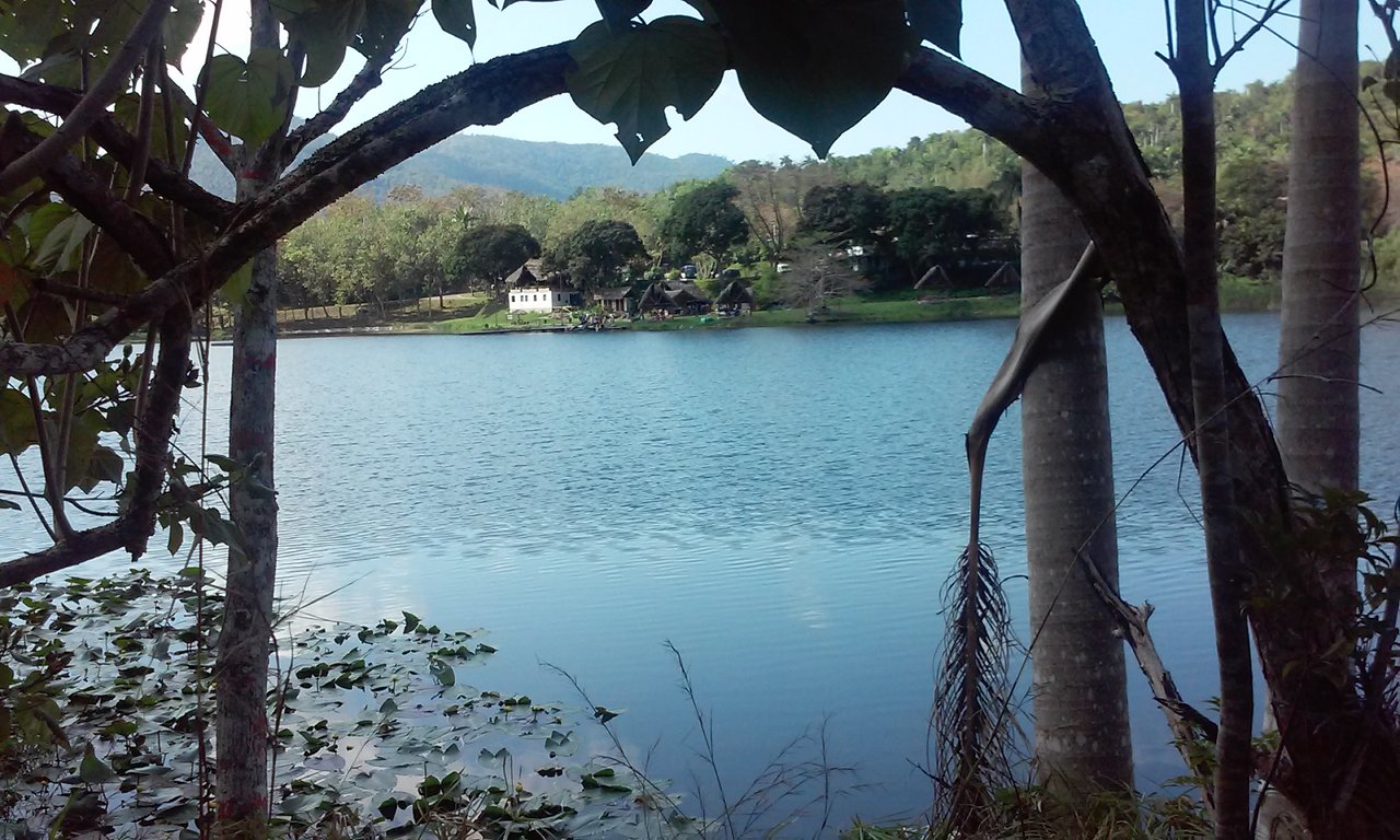
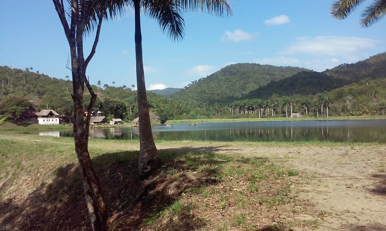
Well, this route would take us to one of the lowest settlements in the place, where "Lake Curujey" is located, with its path leading to a ranch with spectacular views.

https://images.ecency.com/DQmb5oH4rqVFcfvGFFjLYH72wX4u3Pj9v4SuK1DuWv1czrv/20190222_105513.jpg

https://images.ecency.com/DQmR2Zvo6csvL2QJXmtL4ekutAig96jEZ4UUKG2fhnB22uH/20190222_105520.jpg

Curujey Lake Ranch

https://images.ecency.com/DQme1FYSsSM4G4MSDXvWUcu9eRJSX1DpMfSb8EWSCMUjKau/20190222_105840.jpg

Sendero del Lago Curujey

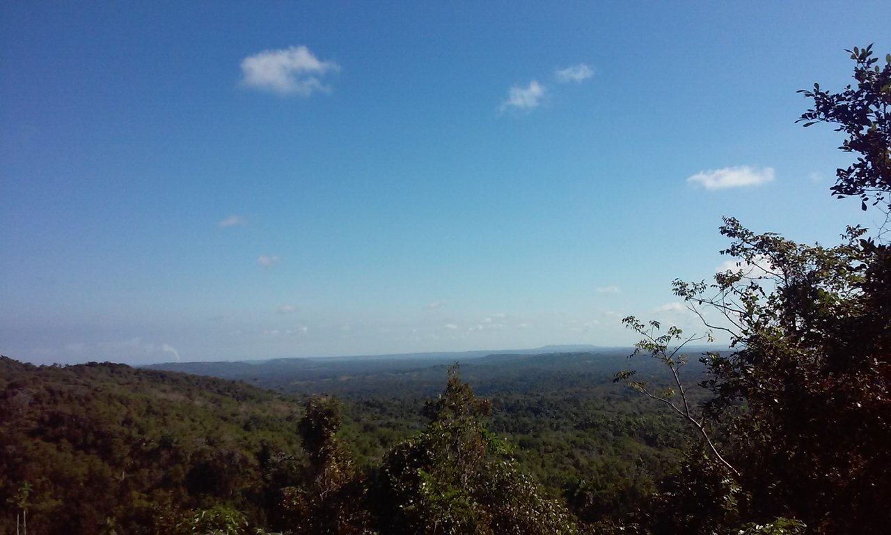
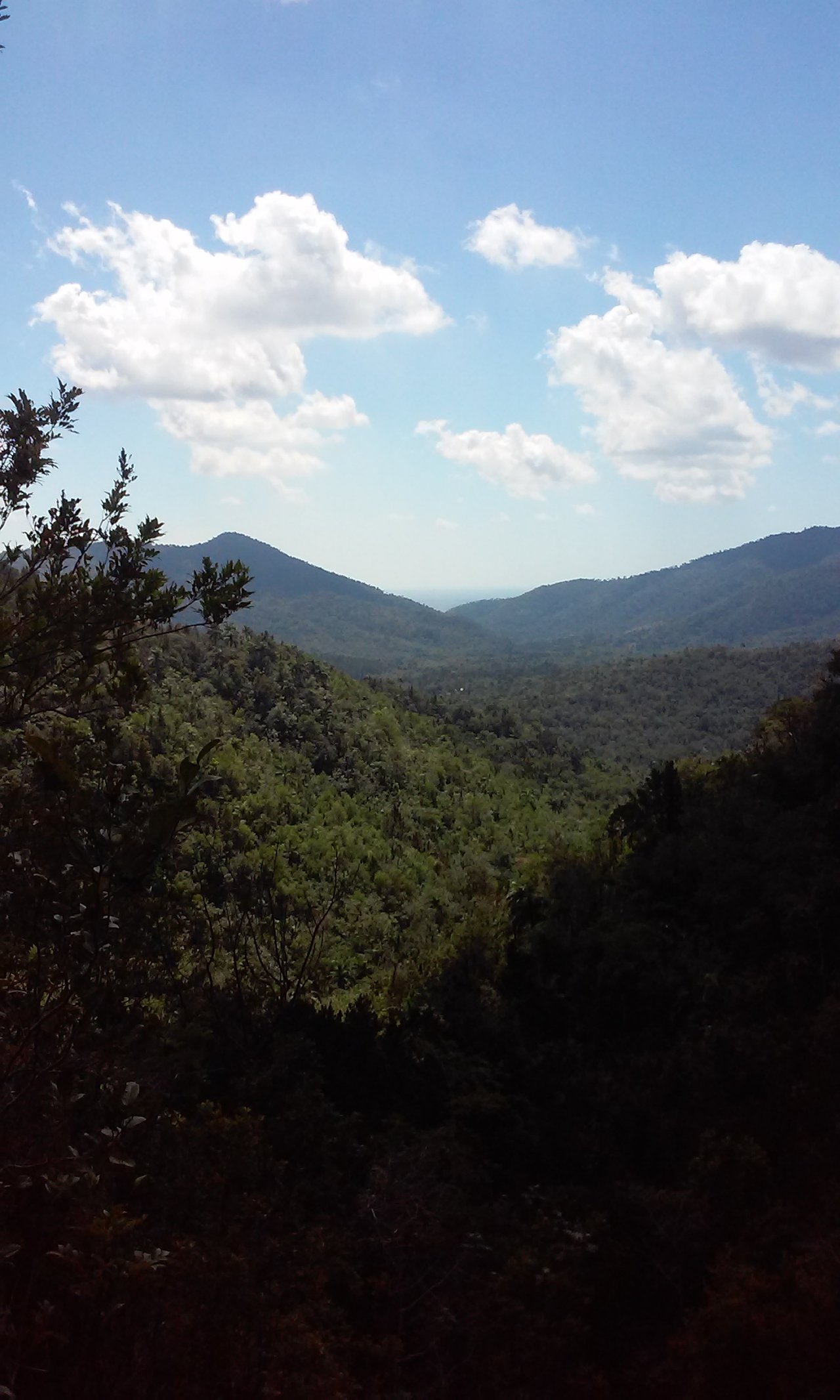
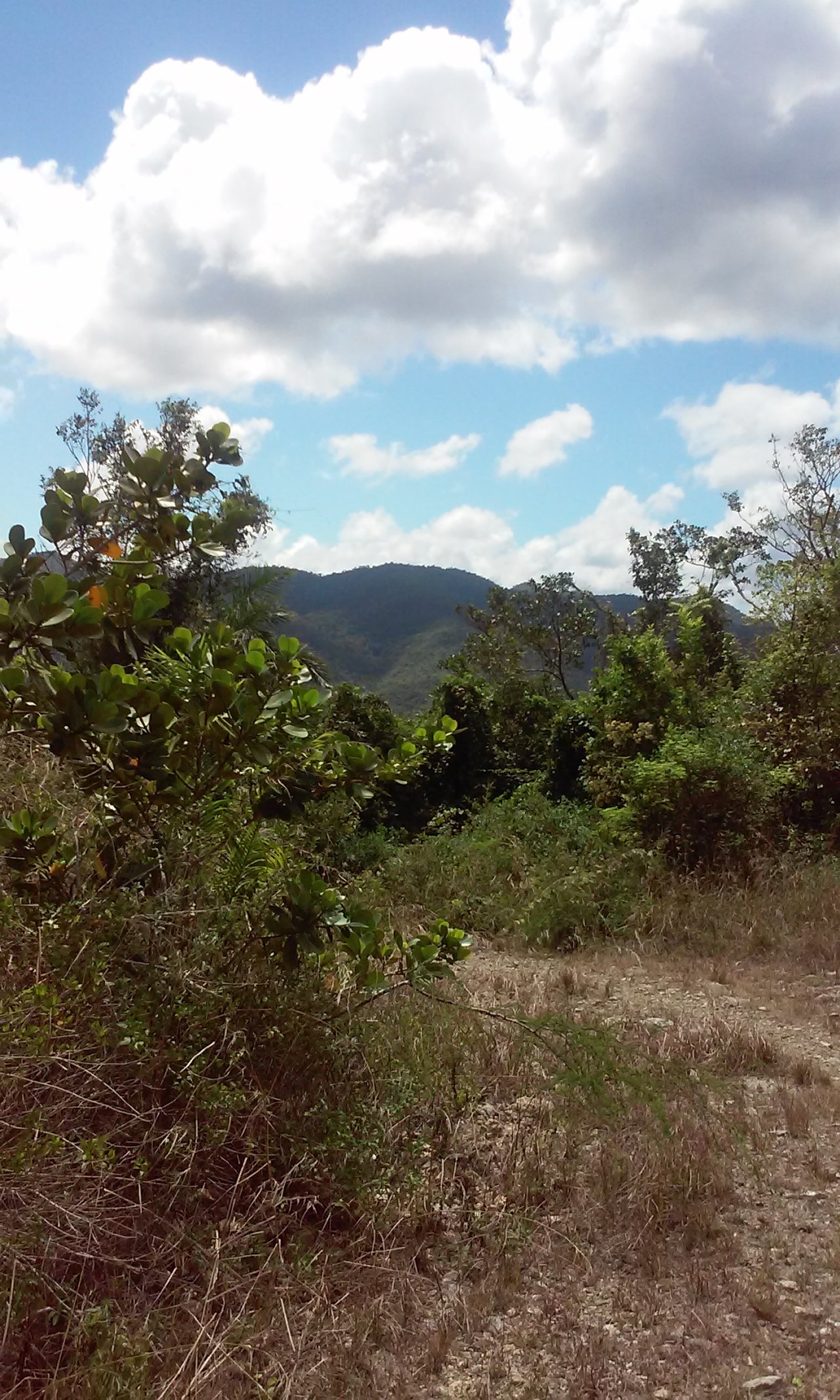
Our last path would take us to the famous "Loma del Mulo", the highest point within the elevations of the Sierra del Rosario, with a height of up to 3 km. We are already talking about bigger things, with a panoramic look at the other elevations in the area.

https://images.ecency.com/DQmbCfxT9gPqxXZgvD6A89eNAS2WEiaW9EfzeqMNHAc5aKU/20190227_115728.jpg

Loma El Mulo

https://images.ecency.com/DQmbuGhMNXmySxYHE7DZo1Co9HkZdgg1QBaFTDsGwh3fhEs/20190308_125017.jpg

Path of the Loma El Mulo

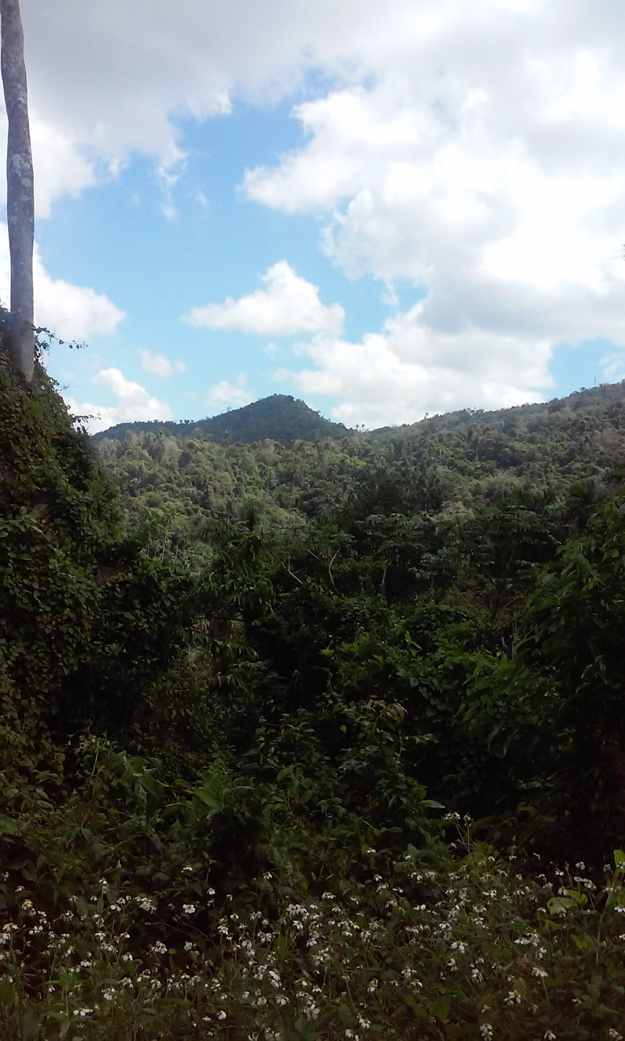
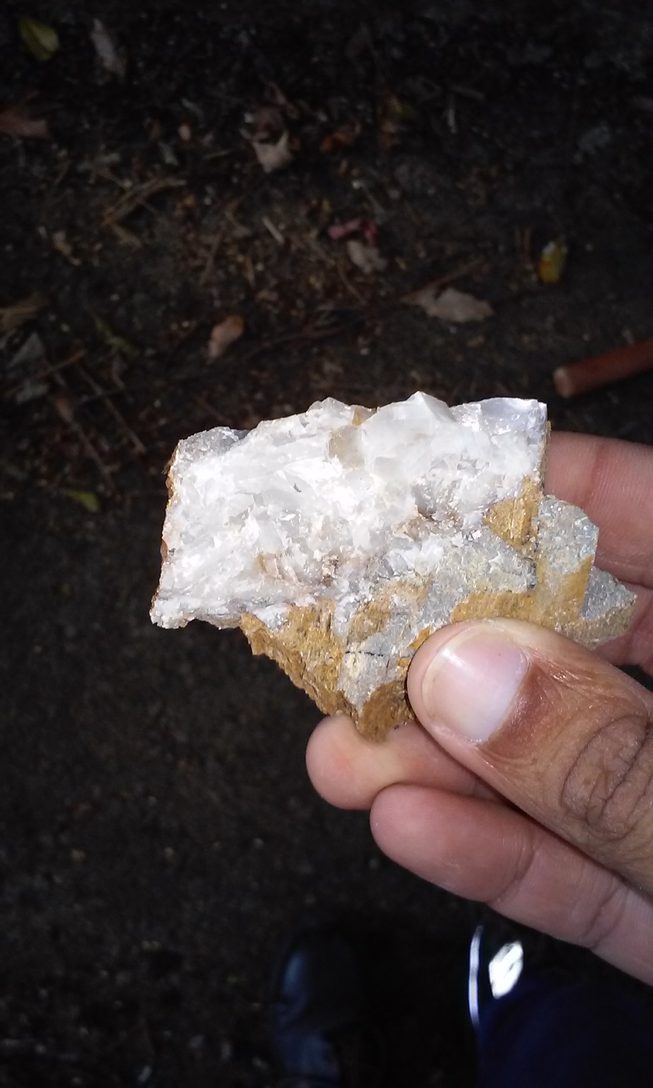
And of course, since it's geology, I collected a sample of calcite, a rock composed of calcium carbonate, very common on these trails. and finally a fantastic view of the way back to the town where we would stay.

https://images.ecency.com/DQmQmkLcN3DDBdWzQteuo2JRvHHFt5oy5tAvAuUVyLCMyJr/20190309_090432.jpg

Calcite sample, composed of calcium carbonate

https://images.ecency.com/DQmQgWXLyGep2bDcKM9eDgWwJ6TQV5HXnv3pRQqgerZkyA8/20190311_133109.jpg

https://images.ecency.com/DQmbzEoyPYLUiY1CXdtnR1v1GSSpBoPMv5QXXjGzWsUekPA/20190311_125804.jpg

Exit trail of Loma El Mulo

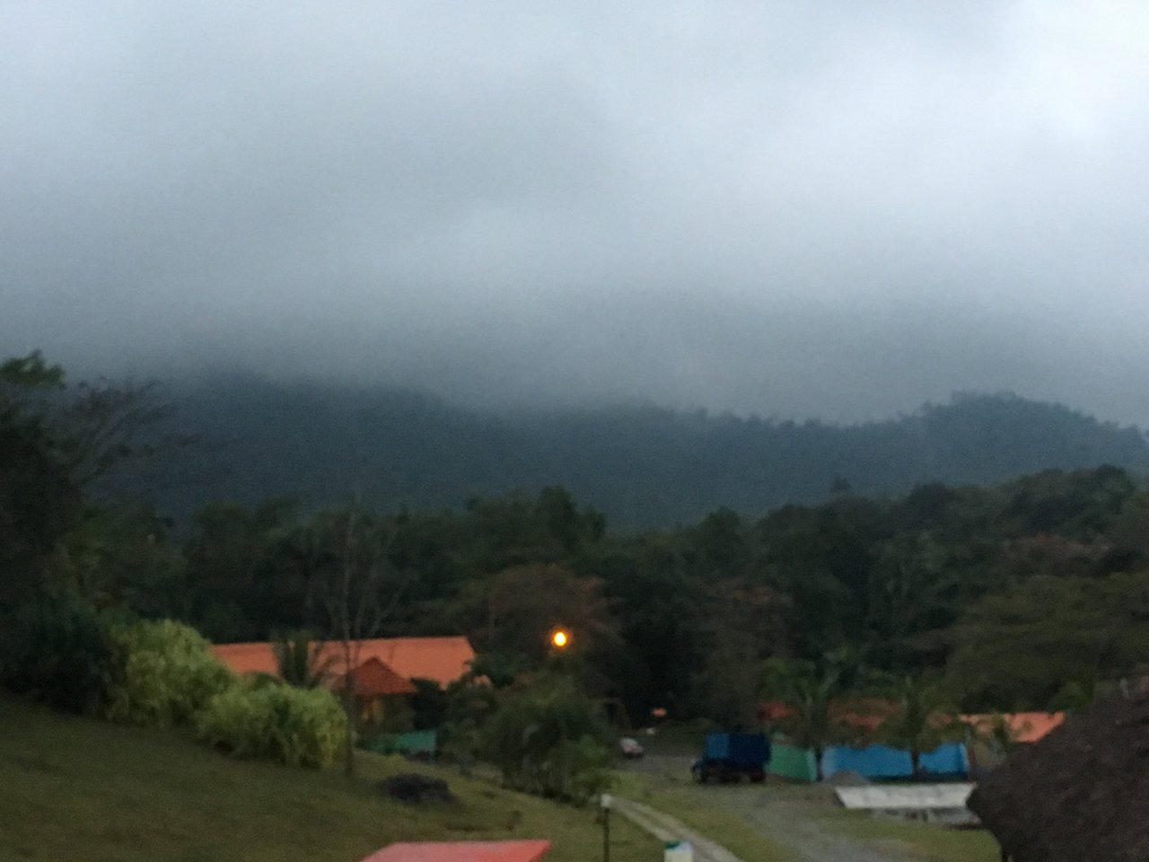
The micro-climate of the town, classic in these mountains, could not be missed.

https://images.ecency.com/DQmWb73JK7nQuP6qU4XuhJCqPrqh6dXzWYyU33aWuEhkbUH/img_4443.jpg

Recreation Center: "Campismo el Taburete"

Being able to know and enjoy all these hidden paths in nature is priceless, as a lover of nature and geology, I hope you feel attracted as much as I do to these areas. A big hug to everyone and have a great day.

All images presented are my property.


Comments

Sort byBest